According to the requirements specified in Annex 15 of the International Civil Aviation Organization (ICAO), all ICAO participating states must ensure the availability of terrain and obstacle data in electronic format.
Obstacles can be represented as points, lines, or polygons, and terrain data can be included as a raster dataset. Obstacle and terrain data that can be relied on for in-flight and ground-based applications are critical datasets for international civil aviation.
According to Haritaevi, an eTOD dataset should ideally provide all of the data and meet all of the requirements specified in ICAO Doc 9881 for the area being worked on. In this regard, an eTOD dataset should ideally contain the raw data for the digital CAD data as the source of production, plans generated from this data, such as printed charts, maps, and so on, as well as GIS data that can be finally used.

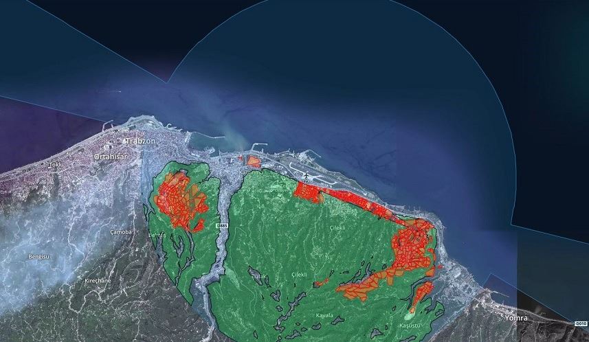
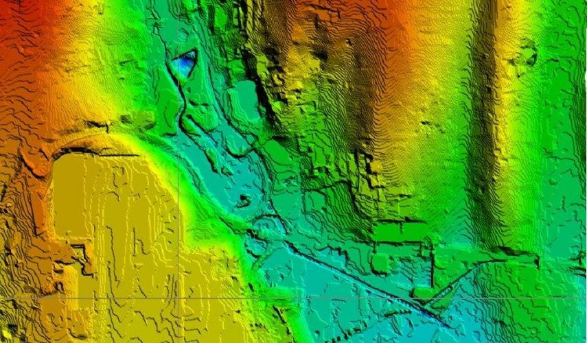
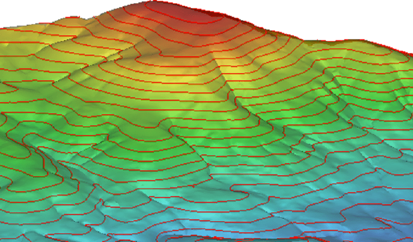
Haritaevi has generated eTOD data that can be processed in geographic information systems (GIS), as a result of aeronautical studies conducted since 2014. We have been proudly delivering our resulting products to airports and civil aviation authorities in accordance with ICAO and Eurocontrol eTOD standards.
If you would like to get information about the eTOD training provided by the experienced team of Haritaevi, please click here.
OUR PROJECTS