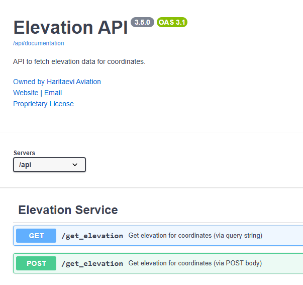
Haritaevi Elevation API
The Haritaevi Elevation API provides fast and precise elevation data for any point on Earth. It’s a powerful and scalable solution designed to seamlessly integrate into your mapping, planning, or analysis systems, giving you instant access to high-accuracy ground height information for smarter decision-making.
Key Advantages
- Accurate & Reliable – Built on trusted global and local datasets, including advanced Lidar and NASADEM models.
- Global Coverage – Retrieve precise elevation data for any coordinate worldwide.
- Fast & Scalable – Delivers results in milliseconds, supporting both individual and bulk location queries.
- Seamless Integration – Easily connects with GIS, mapping, and aerospace applications.
- Flexible & Customizable – Can be tailored to match your specific requirements, data formats, and regional datasets.
- Client Data Integration – Offers custom deployment options where client-owned or private data can be securely incorporated for enhanced accuracy.
- Trusted Expertise – Developed by Haritaevi Aviation Engineering Inc., combining precision geospatial technology with aviation-grade reliability.
Why Choose Haritaevi Elevation API
With its accuracy, flexibility, and reliability, the Haritaevi Elevation API adapts to your project’s unique needs, from national-scale mapping systems to custom enterprise applications. Whether you need standard elevation data or a fully customized integration based on your own datasets, Haritaevi delivers performance and precision you can trust.
Learn more or request tailored solutions: elevation.haritaevi.com
Use Cases
Its performance and data quality make it ideal, especially in the following areas:
- Aviation Safety
- Urban and infrastructure planning
- Environmental and terrain modeling
- Mapping and spatial analytics
- Disaster management and risk assessment
Learn More
Discover the power of elevation data: elevation.haritaevi.com