
WHAT IS AN OBSTACLE?
Airports should be evaluated not only in terms of the land they occupy but also in terms of the airspace they occupy.
Aside from the runways and terminal areas, each airport takes up airspace. Some restrictive surfaces are formed by the airspaces that are regulated by flight traffic and airport type. Obstacles are objects that violate these surfaces, such as buildings, towers, etc.).
WHAT ARE OBSTACLE CRITERIA?
Obstacle criteria vary by airport, but international and national aviation legislation serves as the primary foundation. The Republic of Turkey’s Ministry of Transport’s Directorate General of Civil Aviation establishes its obstacle criteria in accordance with the ICAO criteria (International Civil Aviation Authority). These criteria differ depending on the airport and the location of the obstacles around the airport. However, in the first stage, the assessment criteria are critical “Obstacle Limitation Surfaces.”

OBSTACLE LIMITATION SURFACES BY ICAO STANDARDS
The airspace around an airport must be free of obstacles. There are various and highly detailed obstacle criteria; however, the first criterion that restricts obstacles around the airport and protects the airspace is the Obstacle Limitation Surfaces prepared in accordance with ICAO Annex 14 standards. In addition, there are many regulations, such as ICAO Doc. 9859 regarding flight safety, ICAO Doc. 8168 PANS-OPS regulating flight procedures, and Euro Doc. 15 regarding navigational auxiliary electronic devices used at airports.
Obstacle limitation surfaces are made up of surfaces that define the height limits around the airport. They refer to all structures in the area in which they are valid.
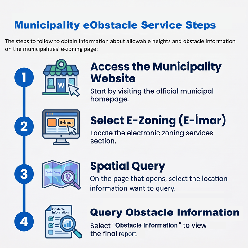
E-OBSTACLE
Nowadays, navigation is planned and performed electronically in the aviation industry. Furthermore, service providers and end users, particularly those involved in civil aviation, are obviously all connected and exchanging information 24/7 via web pages and mobile applications.
Obstacle Limitation Surfaces designed in accordance with ICAO standards are clearly absolute assessment criteria for municipalities, project developers, field owners, and citizens who prepare construction plans and build buildings near airports. It is a critically intersectional issue for the aviation and real-estate sectors to determine the permissible height of a building to be constructed in the vicinity of an airport. Surface coating, frontal texture, and the location of any structure near an airport are also critical factors to consider for aircraft electronic and communication systems.
Haritaevi carries out analyses with the following motto: “Cities growing safely, aviators flying safely.” We use a safety-oriented approach in our engineering analyses. Moreover, we make our analyses available to end-users via our web pages and portals in a form that does not require any technical knowledge. We create software and integrations that allow professionals, Civil Aviation Authorities, and other bodies such as municipalities, to use the results of obstacle analysis in the form of web services, APIs, and so on. As a result, we can immediately assist service providers in providing transparent governance services.
eObstacle Service is an enterprise solution engineered to perform precise allowable structure height calculations within the scope of Obstacle Limitation Surfaces (OLS), Aeronautical Studies, and Shielding Studies. Currently operational across three major municipalities in Türkiye, the platform enables rapid evaluation of airspace restrictions during planning and permitting workflows. To ensure seamless adoption, the service offers flexible integration architecture: users can directly embed eObstacle’s interactive map-based analysis screen into an internal portal, client panel, or website via a lightweight iframe structure, while background data-driven applications can leverage robust RESTful API endpoints returning structured JSON or XML responses.
OUR PROJECTS
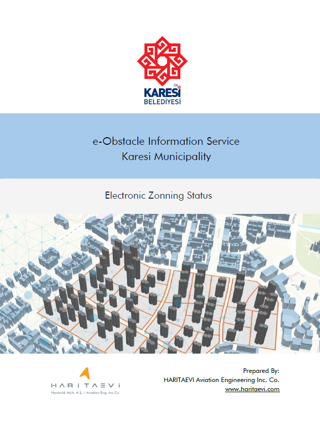
Karesi Municipality e-Obstacle Service
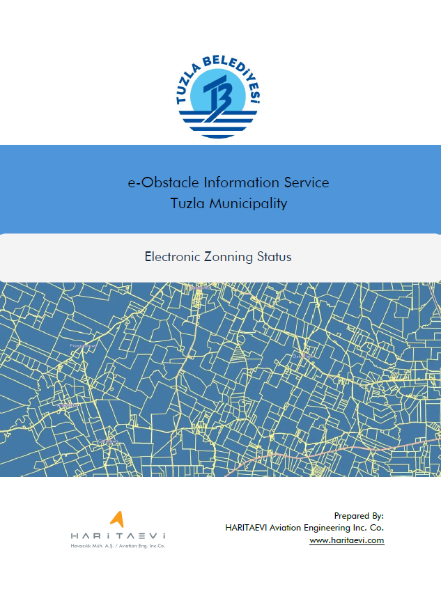
Tuzla Municipality e-Obstacle Service
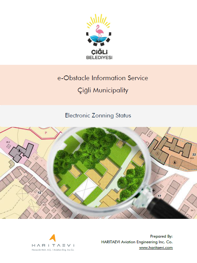
Cigli Municipality e-Obstacle Service