AeroDataMarket is a software platform development project that aims to provide aviation industry data from a single portal. It is a web-based platform that collects aeronautical information about paragliding areas, airports, heliports, water landing areas, landing strips, and aviation educational institutions.
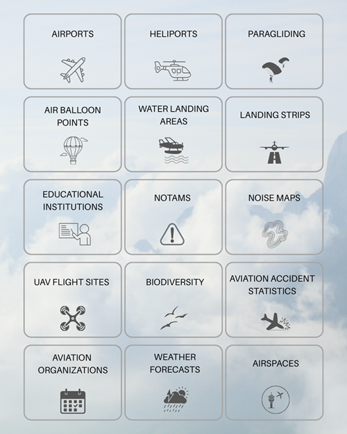
Layers;
Properties, air traffic, international abbreviations, runways, aprons, and taxiways etc. of the airports,
Locations, surfaces, types, etc. of the heliports,
Heights and locations of the paragliding points,
Characteristics, addresses, contact information etc. of educational institutions for aviation,
Landing and take-off areas in the water allowed by the Turkish General Directorate of Civil Aviation,
Landing strips for aircraft and helicopters allowed by the Turkish General Directorate of Civil Aviation,
Locations of balloon businesses,
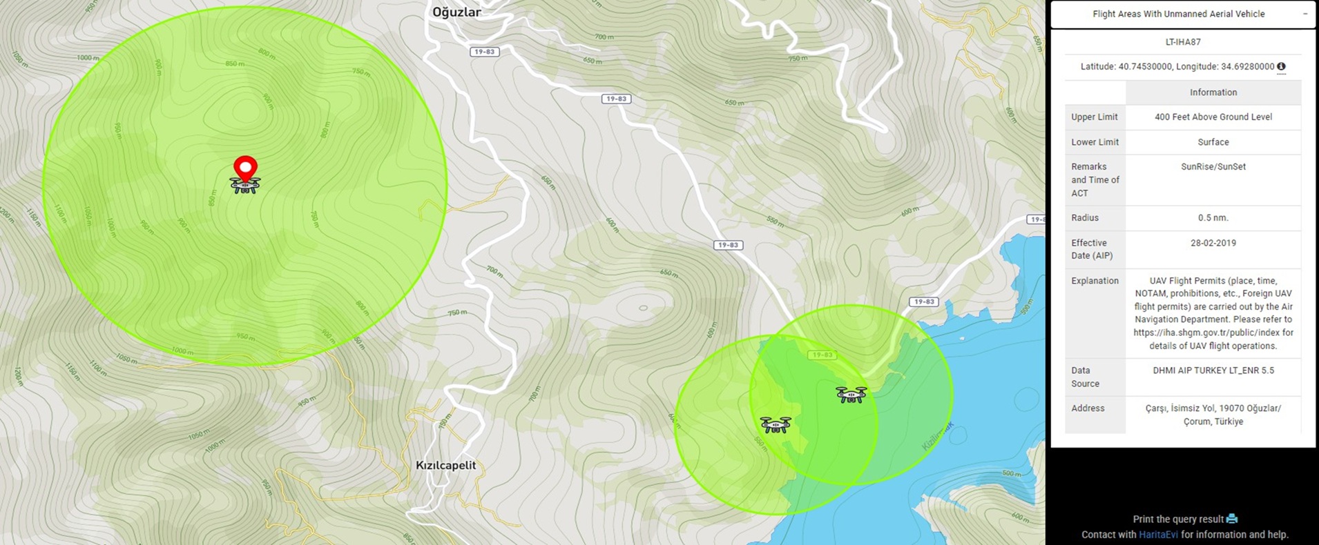
UAV flight sites and features,
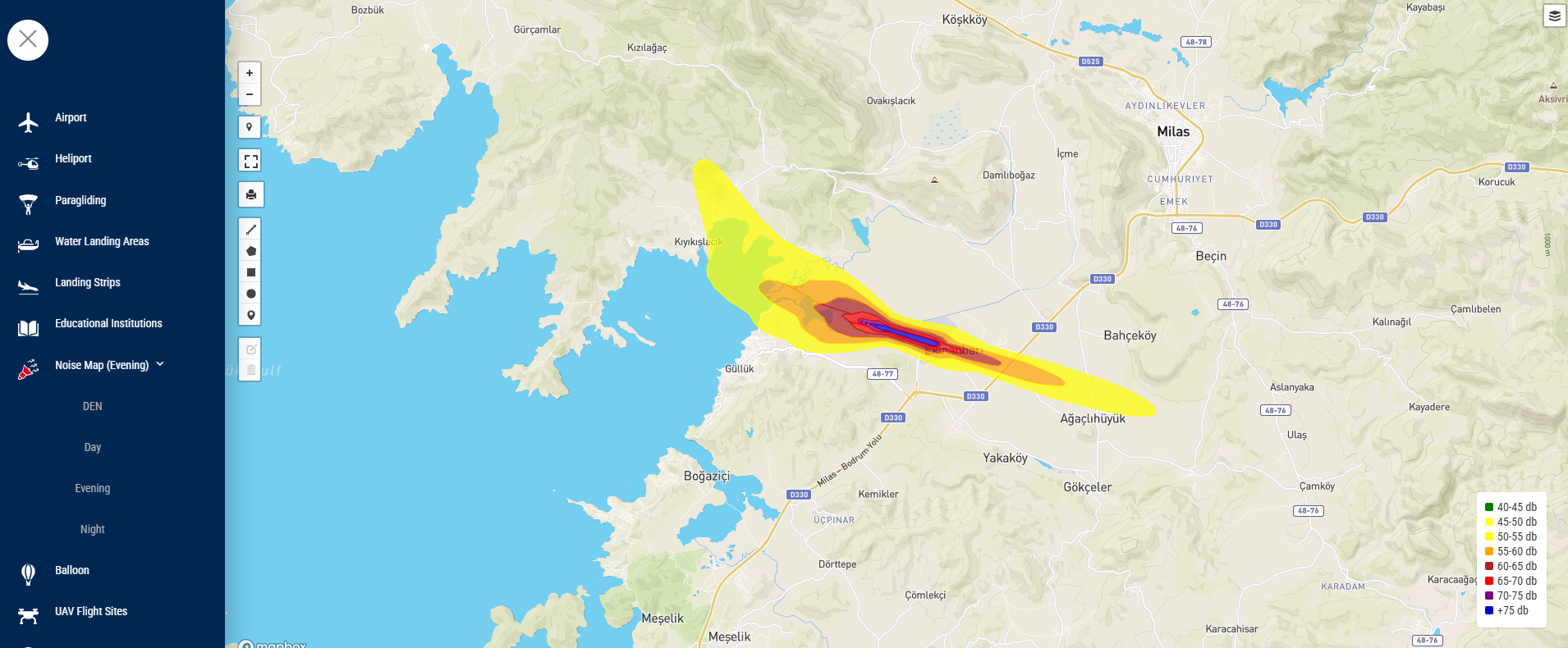
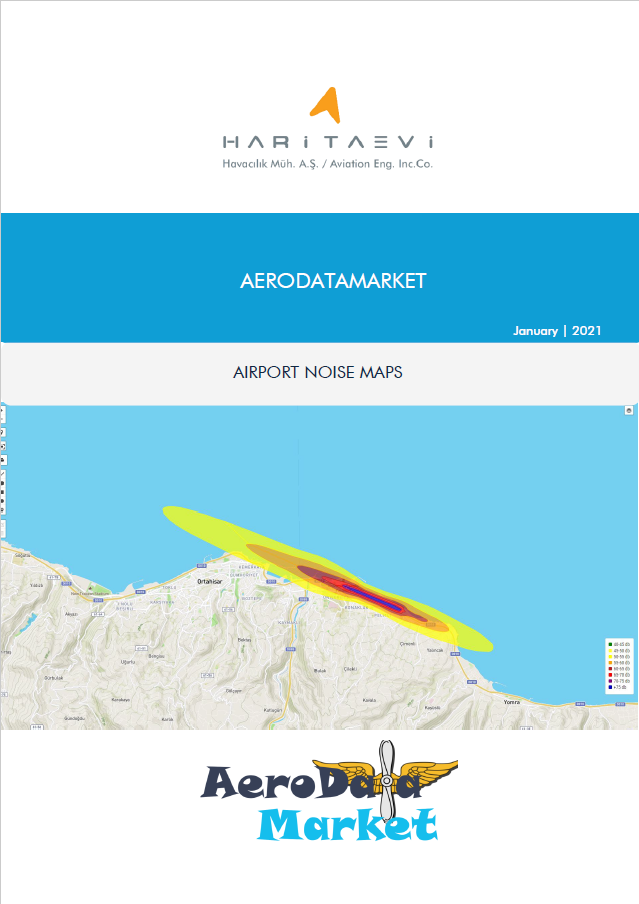
Noise maps,
Aviation accident statistics,
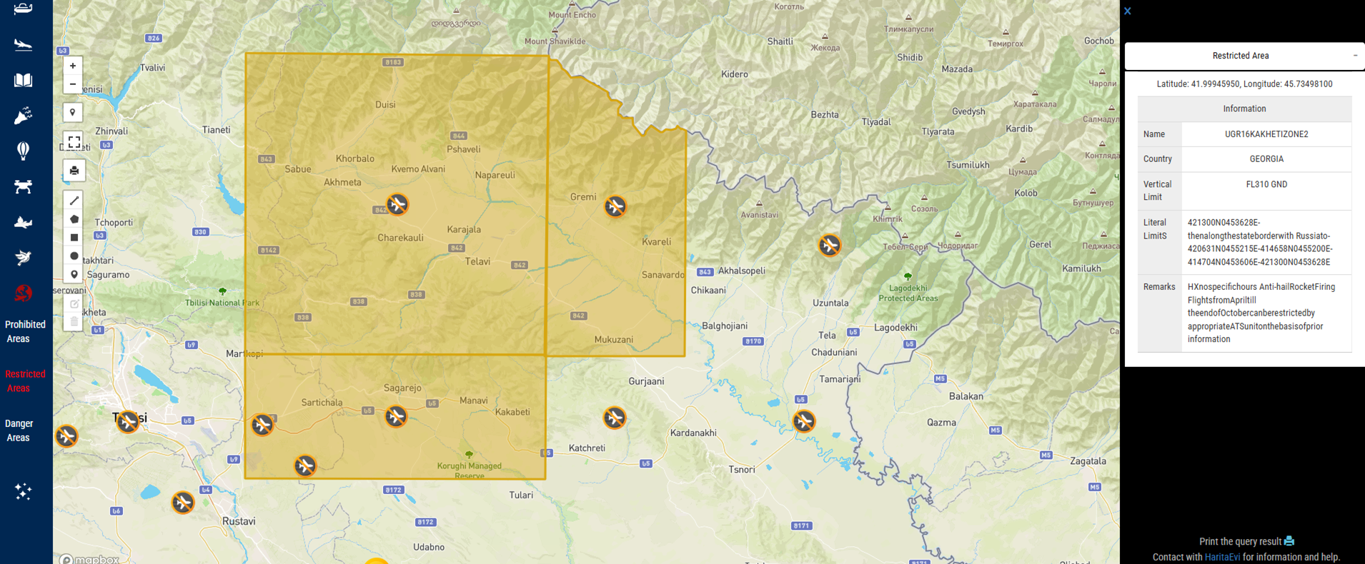
Special airspaces (prohibited, restricted, dangerous areas),
Aviation organizations,
Weather forecasts.
The goal is to develop a new channel to meet the growing demand for spatial data and information in the aviation industry, which has been increasing in recent years. We work with individuals and organizations interested in aviation tourism and aviation sports who want to get information from a single source.
Are you looking for some aeronautical data around the world?
Are you looking for some framework for any country?
Accessible via www.aerodatamarket.com, the platform provides certain data layers free of charge, while more detailed and specialized layers are packaged and licensed specifically for institutional clients.