Aviation Consulting & Engineering Solutions for Airports
Haritaevi offers brand registered software services to publish permissible building heights according to the airport OLS and CNS characteristics.
33923
page-template,page-template-full_width,page-template-full_width-php,page,page-id-33923,page-child,parent-pageid-33917,vcwb,wp-featherlight-captions,ajax_fade,page_not_loaded,,select-theme-ver-3.5.2,menu-animation-underline-bottom,wpb-js-composer js-comp-ver-5.0.1,vc_responsive

ObstacleAnalyze


The ground is where aviation safety begins and ends. Obstacle regulation and monitoring are critical for safe operations. As a result, there are several limitations on man-made obstacles, such as buildings surrounding airports. These limitations cannot ensure that decisions are free of obstacles on their own. It is critical to raise the awareness of stakeholders, policymakers, constructors, and municipalities.

Aviation authorities and airport operators in Turkey and around the world are authorized and responsible for developing, protecting, and monitoring elevation restrictions in obstacle plans. Access to obstacle information is critical for individuals and/or organizations seeking to develop plans, projects, or begin construction on real estate in the vicinity of the airport. Using ObstacleAnalyze, which also holds Technological Product Experience and Trademark Registration Certificates, aviation information in ICAO standards can be queried online, such as which building functions and how many meters of building permits can be granted around airports. ObstacleAnalyze aims to improve safety by raising awareness about surface obstacle limitations and managing obstacles around airports through a single portal.

Haritaevi has extensive experience in the development and deployment of Aeronautical Information Management (AIM) software applications. To assist and enable Deep Analytics of AIM for the Turkish General Directorate of Civil Aviation (DGCA) and the Turkish Ministry of National Defense (MSB), we designed and implemented the web portal (www.obstacleanalyze.com) in 2015 to allow human and machine users to browse, select, and visualize terrain and obstacles around an airport and their potential Obstacle Limitation Surface (OLS) impact.
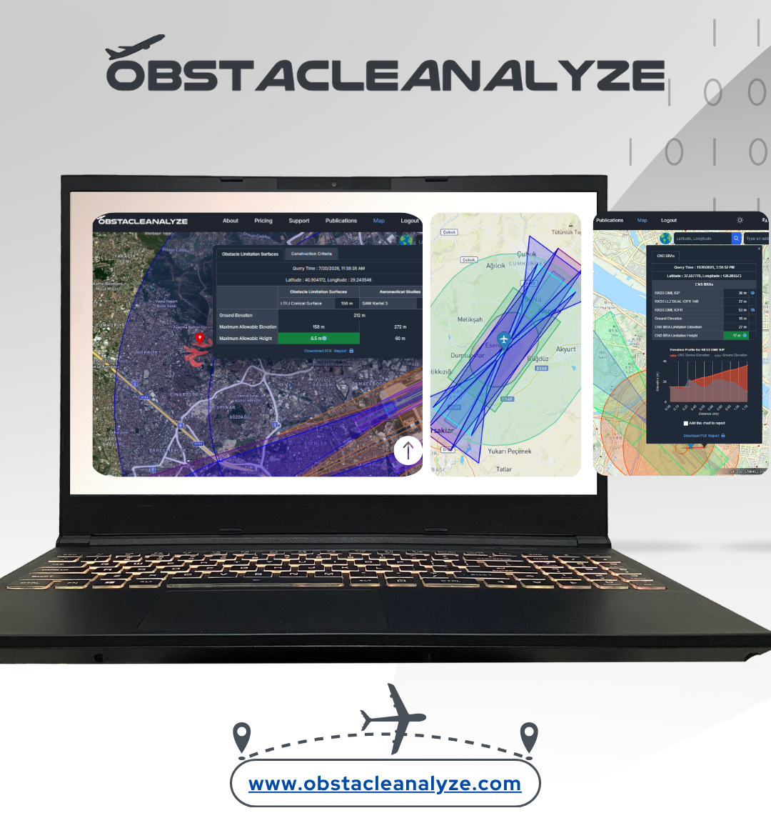
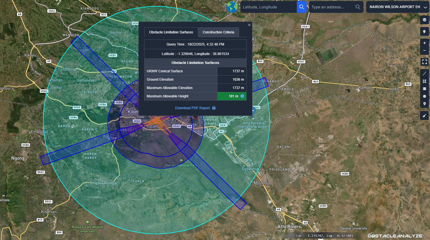
What are the features of ObstacleAnalyze?

  • Users can query areas within airport obstacle limitation surfaces (OLS) to view allowable height analysis and construction criteria,
  • Users can view aeronautical and shielding studies, and perform queries for any clicked point,
  • Users can add ICAO PANSAIM-formatted obstacle data individually or in bulk using various file formats,
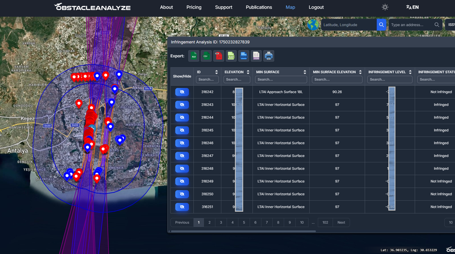
  • Users can perform infringement analysis for their obstacle data and selected surfaces,
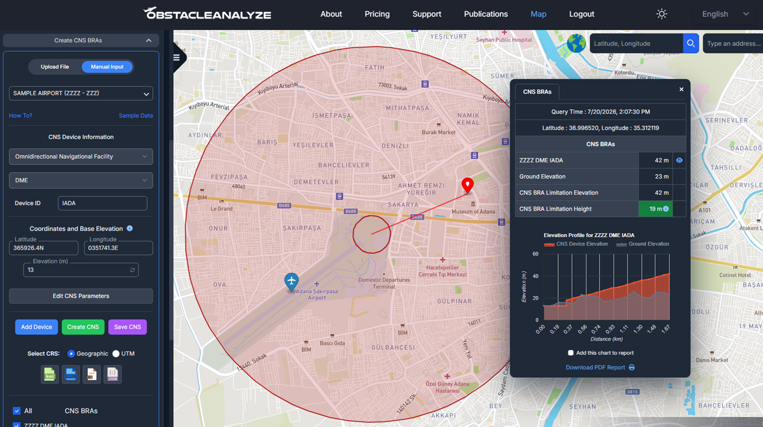
  • Users can automatically generate and analyze ICAO New Obstacle Free Surfaces (OFS) and Obstacle Evaluation Surfaces (OES), CNS BRA (Building Restricted Area) Surfaces, ICAO Annex 14 Airport OLS Surfaces, ICAO Annex 15 Surfaces, ICAO Annex 4 Take-off Flight Path Areas (TOFPA), and ICAO Annex 14 Heliport OLS Surfaces,
  • Users can create and analyze Special Use Airspaces (SUA), including prohibited airspaces, restricted airspaces, warning areas, etc.
  • Users can utilize obstacle management system with their custom added obstacles, either individually or as a team,
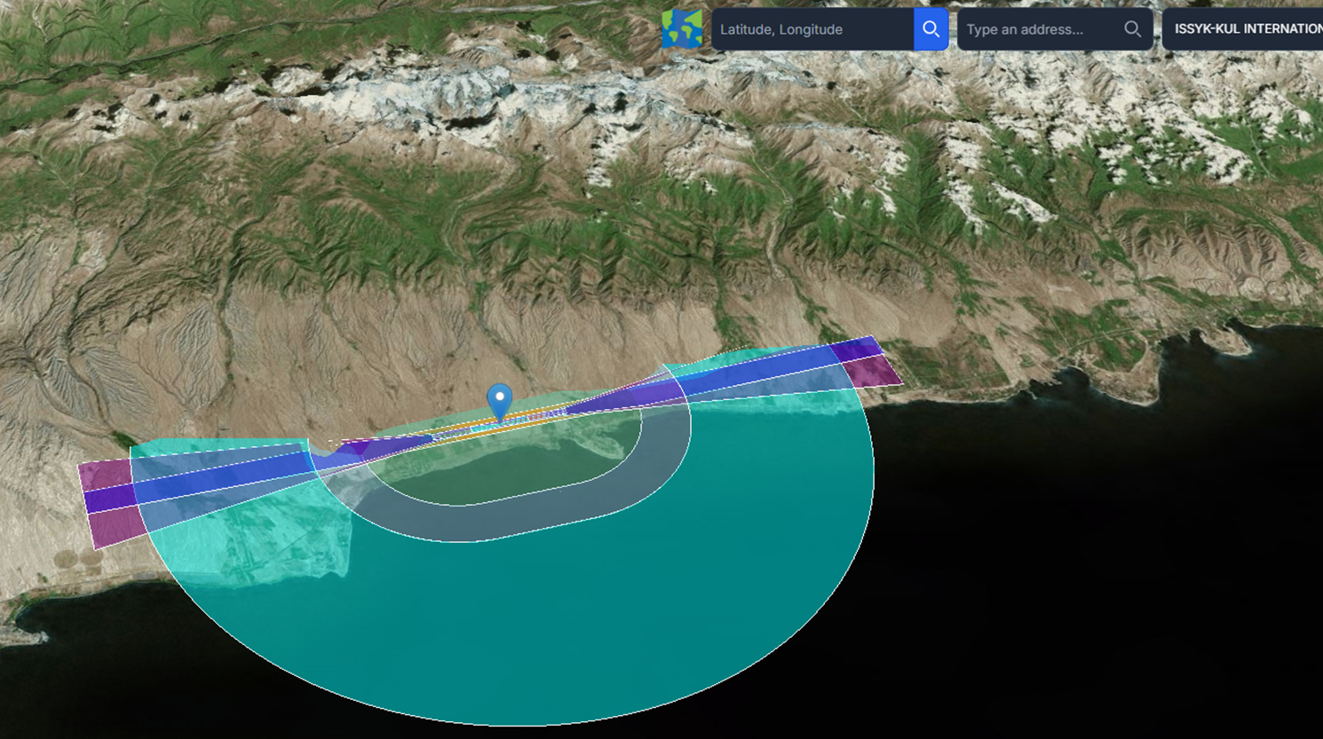
  • Users can view obstacle data or surfaces in 2D and 3D,
  • Users can conduct their studies across different coordinate systems,
  • Users can import and export data using various file formats such as .kml, .kmz, .shp, .geojson, .xml (AIXM), .csv, .dxf, .dgn, and .pdf.

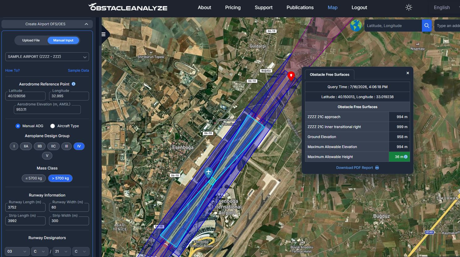
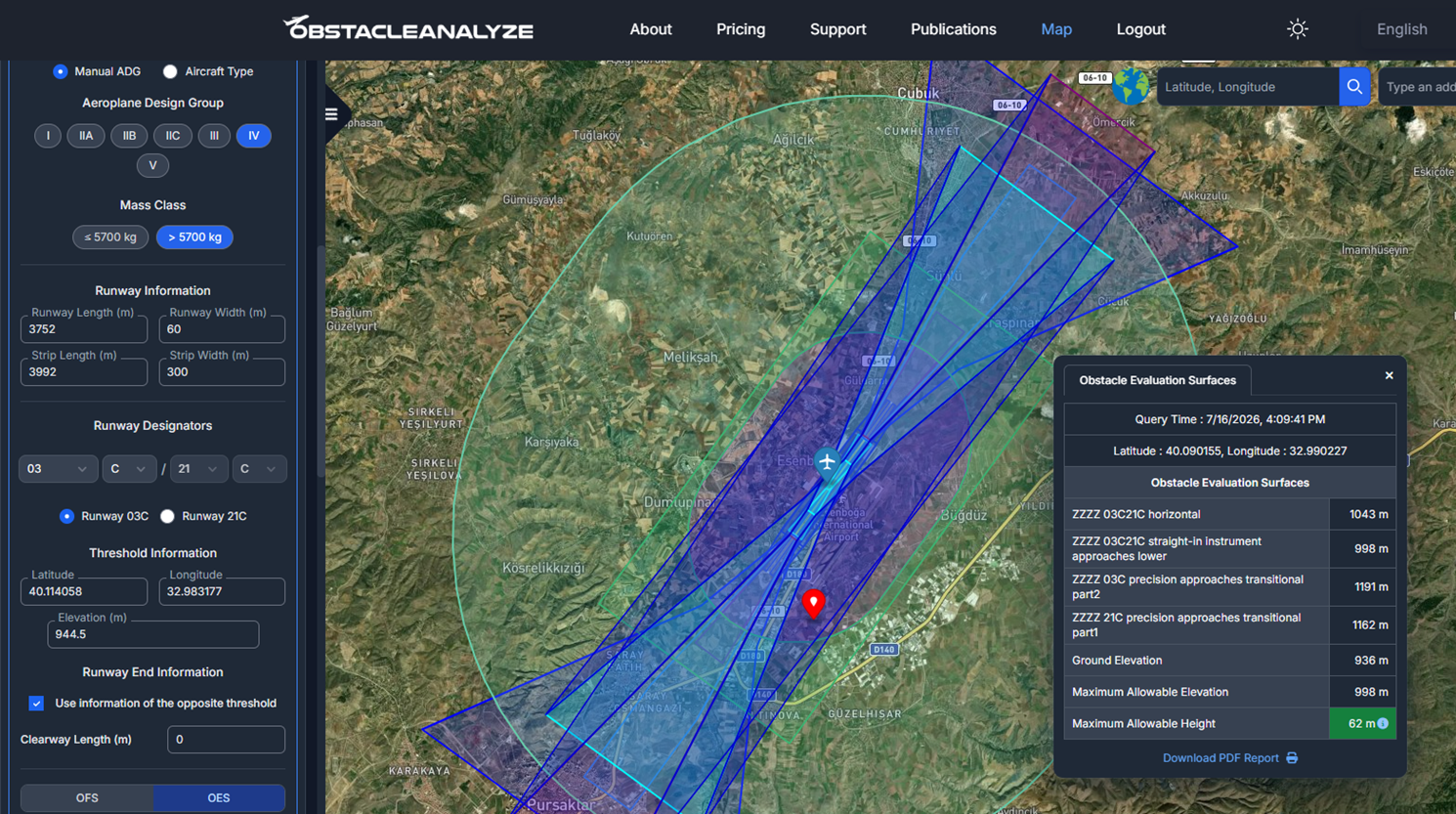
If the location you query via ObstacleAnalyze falls within any Airport Obstacle Limitation Surface (OLS), the ground elevation and the maximum allowable construction height under ICAO standards are automatically calculated in real time and presented as a PDF report.

Airport Obstacle Limitation Surfaces (OLS) Query

3 Dimensional Airport Obstacle Limitation Surface

Obstacle Data Infringement Analysis

CNS BRA Surface Profile Calculation

ICAO New Obstacle Free Surfaces (OFS)

ICAO New Obstacle Evaluation Surfaces (OES)

More information about the software can be found at www.obstacleanalyze.com.

OUR PROJECTS