Mar 31,2022 – Asrın BAŞARAN

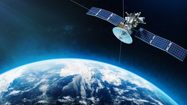
Is it possible for a 700 km-high image to reveal obstacles? Today, the concept of an obstacle, which we are no longer unfamiliar with, is extremely important, particularly in aviation literature. To reiterate, any object that violates restrictive surfaces in airspace governed by flight traffic and airport type is referred to as an obstacle. So, how are these obstacles obtained? Many methods can be used to detect obstacles in more specific and smaller areas, such as near an airport. Some of these are ground surveying, the use of drones, and methodologies such as lidar. Of course, the cost and duration of these methods will increase exponentially in proportion to the size of the work area. For instance, if we’re talking about nationwide obstacle detection (detection of obstacles across the country), it’s unlikely that techniques like ground survey will suffice. Fortunately, today’s technological advancements have opened up a plethora of new avenues. Remote sensing technology is unquestionably one of them. To return to our original issue, satellite technology is, without a doubt, one of the most preferable methods for detecting obstacles across the country. This technology enables us to view an area of 300–400 km2 with a single photo taken from an altitude of 700–800 km and detect obstacles in large areas much faster as a result of the analysis using these images. This technology, which dates back to the 1950s, is actively used in aviation as well as a variety of other uses, making things more viable and providing diverse workshop opportunities.


