Aviation is a multidisciplinary industry. Civil aviation, in particular, receives contributions from thousands of members of various professions, including tourism professionals, ground-based and maintenance-repair personnel, along with professionals from more technical disciplines, such as engineers, operators, data analysts, transporters, and so on.
On the aerial side, all operations, from flight procedure design to route analysis, from optimization interpretation to aircraft monitoring, etcetera, are undoubtedly performed with map support.
On the ground, surveying engineering practices are used for things like airport site selection, construction projects, construction and post-construction services, intra-terminal navigation, obstacle surface limitations for regulating construction around an airport, and etc.
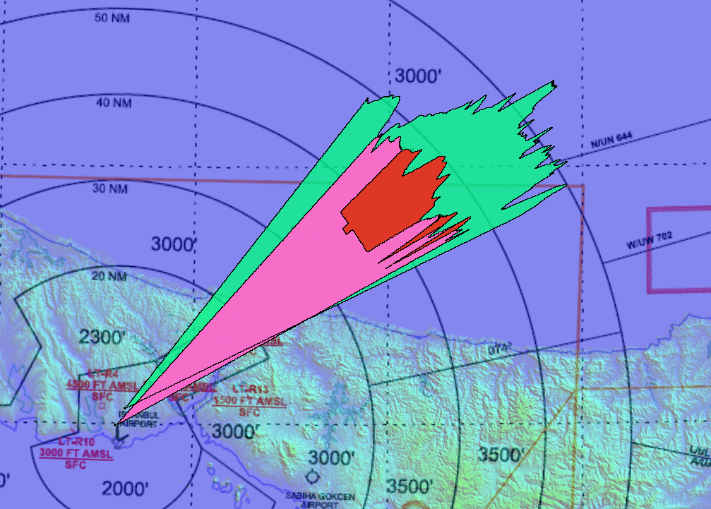
Haritaevi specializes in the creation, development, and maintenance of aeronautical charts for civil aviation authorities, airlines, air traffic managers, and air traffic analysts. Our team carefully considers the needs of all stakeholders in the aviation sector and prepares the ideal solution accordingly. Our expertise is now making a difference in developing methods to reduce any source of error in the selection of the appropriate technology, site operations, analyses, and reporting. You get your ideal solution for a successful engineering analysis from our knowledge based on over twenty years of professional experience in surveying, mapping, GIS, 3D Modeling, web/mobile application development, and visualization.
Having ISO 27001 and ISO 9001 certificates, Haritaevi always provides high-quality services of engineering analysis to the aviation sector.


