GEOGRAPHICAL SYSTEMS FOR THE AVIATOR CANDIDATES
The names of successful companies should be mentioned not only by their products and services, but also by their contribution to the society. As a company with this approach, within the scope of the “Social Responsibility Project” in educational institutions, we are able to conduct free conferences for those who are studying in the field of civil aviation depending on their level:
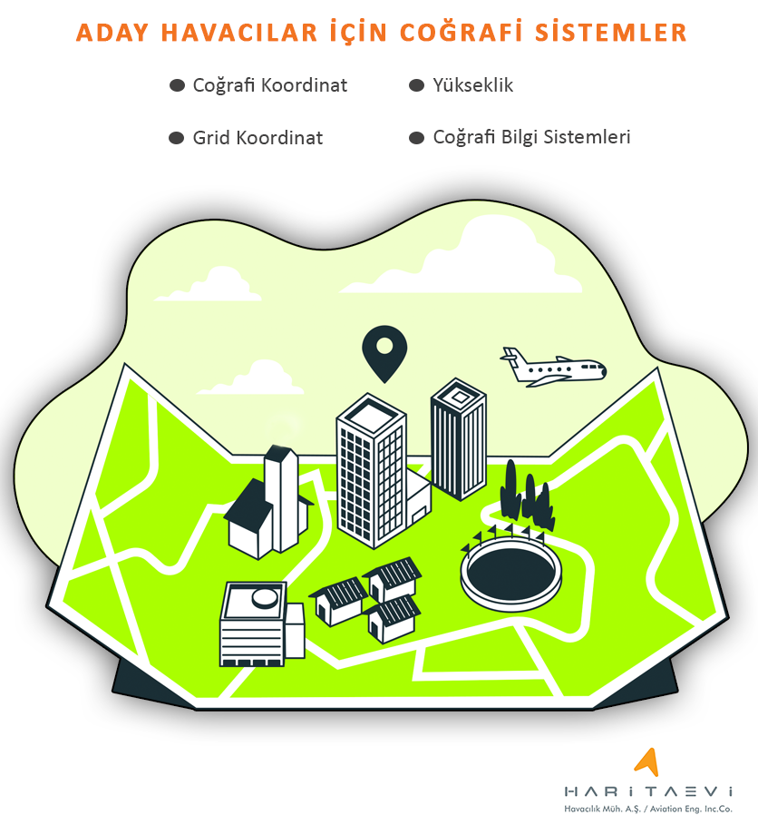
- Basic map usage information,
- Geographical coordinates,
- Grid Coordinates,
- Geographical Information Systems,
Based on those topics, we aim to provide general information about datum-projection systems, geographic data provision and usage methods that will facilitate and make ground operations and flight
operations safer.
Our goal is to create a general culture about geographic systems; the students who can benefit from this program are the students studying in civil aviation departments of high schools and universities. Educators, lecturers or student clubs who wants a free conference at their school or association, can contact us.